The Pakistan Space and Upper Atmosphere Research Commission (SUPARCO) has highlighted the growing role of space technology and satellite-based data in strengthening climate resilience and supporting sustainable development in Pakistan.
Through its Space Applications Center for Climate Sciences (SACCS), SUPARCO organised the Third Regional Symposium on Space4Climate at a local hotel. The event focused on the use of space technologies for monitoring waterways and land-cover changes, crop conditions, air quality and smog, and heatwave hazards.
The symposium brought together senior government officials, policymakers, scientists, researchers, academics, development partners and environmental experts to promote greater collaboration on the use of space-based technologies for climate adaptation and evidence-based policymaking.
Participants discussed major climate challenges facing Punjab and Pakistan, including floods, natural disasters, glacier melt, droughts, heatwaves, air pollution, changing water resources and growing pressures on agriculture. Experts emphasised that Earth observation satellites, remote sensing, geospatial analytics and Geographic Information Systems (GIS) are increasingly important for monitoring environmental changes and responding to climate-related risks.
SUPARCO Chairman Muhammad Yousaf Khan highlighted the importance of transforming satellite data into actionable climate intelligence to support national priorities. He said space technology can contribute to climate adaptation, disaster risk reduction, water resource management, food security and environmental monitoring.
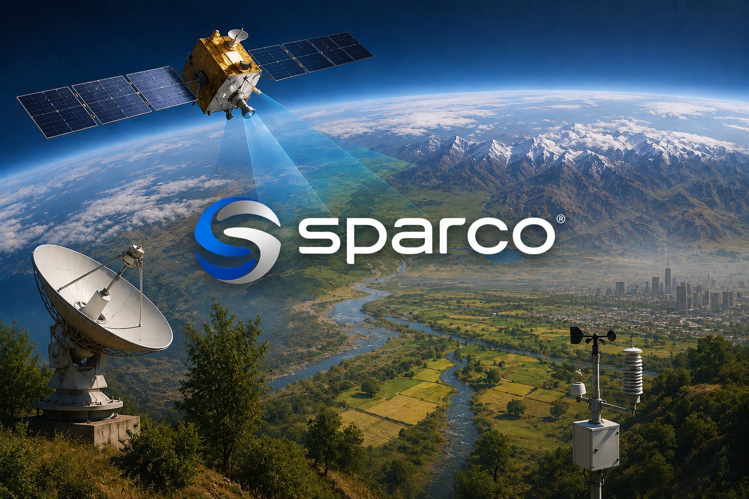
A key feature of the symposium was the presentation of SUPARCO’s Space4Climate initiative and a live demonstration of its geospatial portals. The platforms use data from Pakistan’s satellite assets, including PRSS-1, SAR-1, EO series and hyperspectral capabilities, to provide information on air quality, greenhouse gases, glaciers, snow cover, waterways, land cover and other environmental indicators.
The technical sessions covered waterway and land-cover dynamics, crop monitoring, air quality assessment and heatwave hazard mapping. Experts examined how satellite-derived information and geospatial technologies can improve climate adaptation, disaster preparedness, agriculture, water management, urban planning and environmental protection, particularly in Punjab.
An interactive panel discussion also explored ways to mainstream space-based information into provincial planning and development. Participants stressed the need for stronger coordination between government institutions, wider access to geospatial data and greater integration of satellite-based climate services into disaster management and environmental governance.
The symposium concluded with recommendations to expand the institutional adoption of Space4Climate services, strengthen cooperation between scientific and government organisations, improve geospatial technology capacity and develop operational climate information services to support evidence-based decision-making across Pakistan.